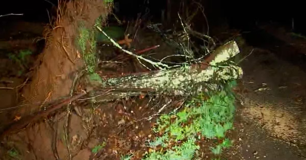
NASHVILLE, Tenn. (WSMV) – Update: The National Weather Service has confirmed four tornadoes from the overnight severe weather event in Middle Tennessee from Sunday, March 30 into the morning of Monday March 31.
The fourth tornado was confirmed in McEwen (Humphreys County) at an EF-1. NWS said the tornado had 95 mph winds and was 150 yards wide and 1.7 miles long.
We have so far confirmed 4 tornadoes resulting from last night’s storms.EF-2 in Hampshire/Maury Co.EF-1 in Mt. Pleasant/Maury Co.EF-0 in Fairview near the Hickman/Williamson Co. line
EF-1 in McEwen/Humphreys Co.
— NWS Nashville (@NWSNashville) March 31, 2025
Earlier: The National Weather Service has confirmed three tornadoes from the overnight severe weather event in Middle Tennessee.
NWS has confirmed an EF-2 tornado in Maury County (Hampshire Pike area), an EF-1 tornado in Mount Pleasant and an EF-0 tornado in Fairview.
- Hampshire (Maury County)
- EF-2 120 mph winds
- 400 yards wide
- 5.10 miles long
- Mt. Pleasant (Maury County)
- EF-1 100 mph winds
- 300 yards wide
- 4.10 miles long
- Fairview (Hickman/Williamson County Line)
- EF-0 85 mph winds
- 150 yards wide
- 2.20 miles long
The NWS has been conducting storm damage surveys in several Midstate counties following severe weather that started the night of Sunday, March 30 and lasted into the early morning hours of Monday. NWS reports that crews will survey damage in Perry, Maury, Humphreys, Williamson, Rutherford and Cannon Counties.
In Maury County, a home was partially blown away by strong winds. In Humphreys County, the sheriff reported widespread damage. A homeowner said the storm separated the roof from their house.
Already, a First Alert Weather Day has been issued for Wednesday through Saturday as a large storm system could bring multiple rounds of rain and storms to the Midstate.
Download the WSMV 4 First Alert Weather app for iPhone or Android, so you can stay informed on the go and in between newscasts. We share custom videos, plus you can choose to get messages from us on the latest conditions and forecasts.
Have weather pictures or videos? Share them here.
Copyright 2025 WSMV. All rights reserved.
