(KIRILL KUDRYAVTSEV via Getty Images)
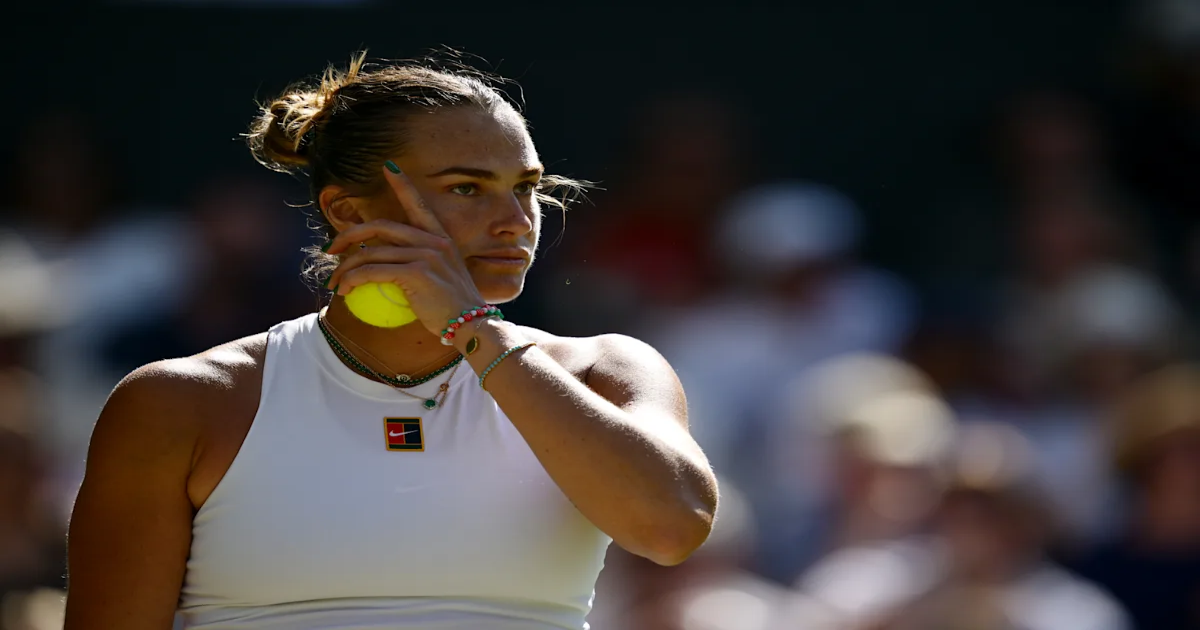
Aryna Sabalenka completed a hard-fought comeback against Laura Siegemund to avoid elimination and move on to the semifinals at Wimbledon. The pair met at center court on Tuesday morning as Siegemund looked for another upset win after eliminating Madison Keys in the third round.
After dropping the first set, 6-4, the No. 1-ranked Sabalenka rallied back to win the next two sets and the match. Sabalenka decisively won the second frame, 6-2, before a thrilling third set.
Advertisement
Advertisement
Sabalenka went down 3-1, before tying the set at 3-3 before the pair went on a back-and-forth to decide the winner. Siegemund went up 4-3 but was quickly extinguished by Sabalenka, who won the set and the match in straight games, 6-4.
Siegemund was victorious against Peyton Stearns, Leylah Fernandez and Keys before exiting the competition.
The Belarussian did not drop a set until meeting Siegemund in the tournament. Sabalenka recorded wins over Carson Branstine, Marie Bouzková, Emma Raducanu and Elise Mertens in the first four rounds.
Sabalenka will face No. 13 Amanda Anisimova on Thursday in the semifinal.
Advertisement
Advertisement
Sabalenka will look to secure her 21st career singles title and her first at Wimbledon. The three-time Grand Slam winner has not won since the Madrid Open in May.
Since then, Sabalenka lost in the quarterfinals of the Italian Open to Zheng Qinwen, dropped the final at Roland-Garros to Coco Gauff and the semifinal at the Berlin Open to Marketa Vondrousova.
The world No. 1’s last Grand Slam win came in the 2024 US Open, where she defeated Jessica Pegula for the title.