MINNEAPOLIS — You might have heard over the last few days that severe storms developing across the region could turn into a derecho — but what exactly is a derecho?
KARE 11 Chief Meteorologist Belinda Jensen explained that a derecho happens when a bowing storm moves at a very high speed, causing winds over 100 mph. A derecho can produce damaging straight-line winds that expand over several miles.
Early models showed the possibility of a derecho forming in Minnesota between Sunday evening and Monday, but luckily, Jensen said, the system fell apart.
“As everything kind of came together today, that thankfully fell apart, and now we’re left with what’s in South Dakota. So we’re going to have a stormy night, but we’re not going to have that potential this evening,” Jensen said in her Monday evening forecast.
After severe storms essentially leveled parts of Beltrami County in June, Meteorologist John Zeigler also explained the criteria required for a true derecho to form. While the area did record wind speeds up to 120 mph, Zeigler said it did not meet every standard.
“It has to be 250 miles long; the entire thing has to be severe at 58 miles per hour; but the apex of this has to have 75 mile\ per hour winds,” said Zeigler.
According to Zeigler, the Bemidji storm met wind speed and apex criteria, but did not reach 250 miles in length.
The National Weather Service says the difference between a tornado and a derecho is that the latter can last for hours and produce winds as damaging as tornadoes, minus the rotation.
“What is worse: an EF2 tornado or a derecho?” Zeigler said in his forecast. “It’s 10 to 1. A derecho is so much worse than a small EF2 tornado.”
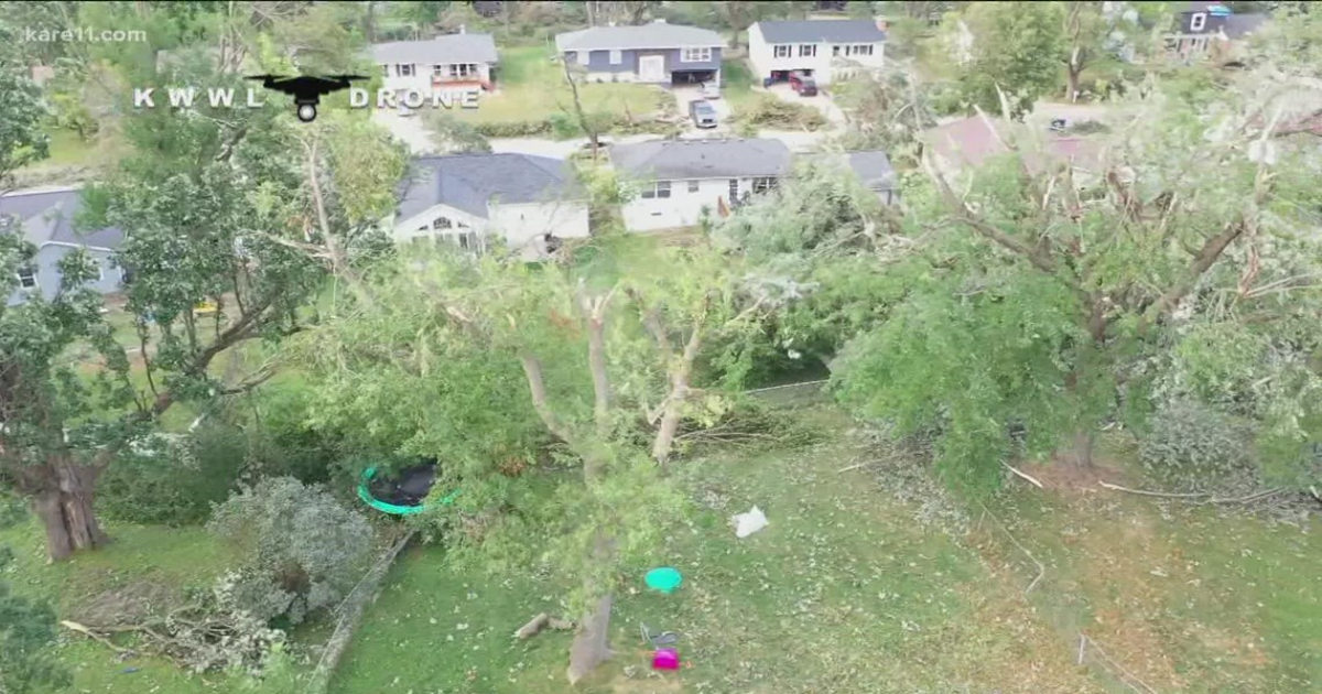
The last devastating derecho to level parts of the Midwest happened in Iowa in August 2020, producing what would end up as the most costly thunderstorm in U.S. history at the time. The National Oceanic and Atmospheric Administration estimated it caused about $7.6 billion in damages.