ST. LOUIS — Most counties in the St. Louis viewing area are affected by flash flood warnings Friday evening.
Thunderstorms producing heavy rain have already had between 1 and 2 inches of rain with another inch or two possible in the warned area.
According to the National Weather Service, some locations that will experience flash flooding include: St. Louis, St. Charles, St. Peters, Florissant, Chesterfield, Wildwood, University City, Ballwin, Alton, Kirkwood, Maryland Heights, Hazelwood, Webster Groves, Ferguson, Manchester, Godfrey, Creve Coeur, Overland, Clayton and Cahokia.
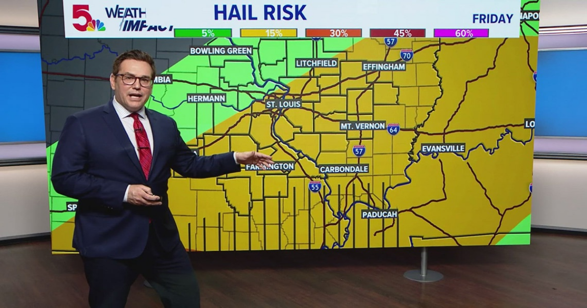
There is a chance for tornadoes but they likely would also be to the south and east of the city.
Heavy rains will continue into late night Friday and could pick up again Saturday.
Further south into Arkansas and Tennessee is where the worst of the severe weather is forecast to fall.
There are river concerns with the Meramec River, with some areas reaching major flood stage, especially in Eureka and Valley Park.
The current forecast calls for a 100 percent chance of rain through 10 p.m. Friday.
