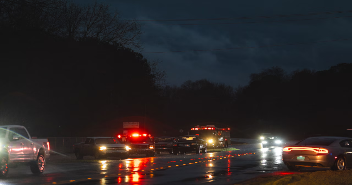
Severe weather hit Alabama on Saturday, and more storms will be possible through the overnight hours.
Several areas in central Alabama, including Calera, Gordo, Maplesville, Pletcher and Sipsey, have reported damage as of late Saturday. A confirmed tornado also moved close to the Troy area before midnight.
How significant that damage is is yet to be known.
And the threat for storms wasn’t over as of early Sunday morning.
Strong to severe storms were continuing to push eastward over eastern Alabama as of midnight Sunday. More severe thunderstorm or tornado warnings will be possible.
The National Weather Service in Mobile said parts of south Alabama along and east of Interstate 65 still face the threat for severe storms overnight. They could produce a few tornadoes, including a strong one, damaging winds and large hail.
Severe Weather in Alabama: March 15th weekend
NOAA’s Storm Prediction Center, in its last forecast update on Saturday night, has dropped the Level 5 out of 5 severe weather risk for Alabama, but a Level 4 (moderate) risk will remain into the overnight hours.
A tornado watch will be in effect until 3 a.m. Sunday for parts of south and east Alabama.
See also:
The Alabama counties remaining in the watch as of midnight Sunday are: Baldwin, Barbour, Bullock, Butler, Chambers, Cleburne, Coffee, Conecuh, Creshaw, Dale, Escambia, Geneva, Henry, Houston, Lee, Macon, Pike, Randolph, Russell and Tallapoosa.
The tornado watch is not a PDS (or particularly dangerous situation) watch, but the Storm Prediction Center cautioned that several intense tornadoes will still be possible.
Damaging winds and large hail will also be possible with these storms. Flash flooding is also a concern.
There were multiple tornado warnings and multiple confirmed tornadoes across the state eralier on Saturday.
The National Weather Service will spend the next several days surveying storm damage and confirming tornado tracks.
One tornado warned storm moved close enough to the weather service office in Calera (which is known as the NWS in Birmingham), that those in the weather service office there had had to take shelter temporarily and hand over operations to the NWS in Atlanta.
The weather service reported that meteorologists were back on the floor at the office in Calera as of 8:15 p.m.
The extent of the damage caused by Saturday’s storms is unclear, but there have been several reports of damage in the Calera area in Shelby and Chilton counties, the Gordo area in Pickens County and the Sipsey area in Walker County.
Reports have also come in of damage in Plantersville in Dallas County and Maplesville in Chilton County.
A Level 4 out of 5 risk for severe weather is in place for part of Alabama through the overnight hours.
Concern was also growing about flash flooding, and many areas in Alabama were under flash flood warnings late Saturday.
Forecasters warned that storms could move quickly, making it vitally important for all Alabamians to have a plan in place and be ready to act if a storm threatens their location.
“On a high-end day like today, take every precaution necessary to protect yourself and your loved ones,” forecasters said Saturday.
The severe weather is expected to exit the state in the early morning hours on Sunday, and calmer weather is expected next week.