Fatal floods in Texas that left thousands scrambling for safety with little warning have sparked a fresh round of scrutiny of Trump administration cuts to the National Weather Service.
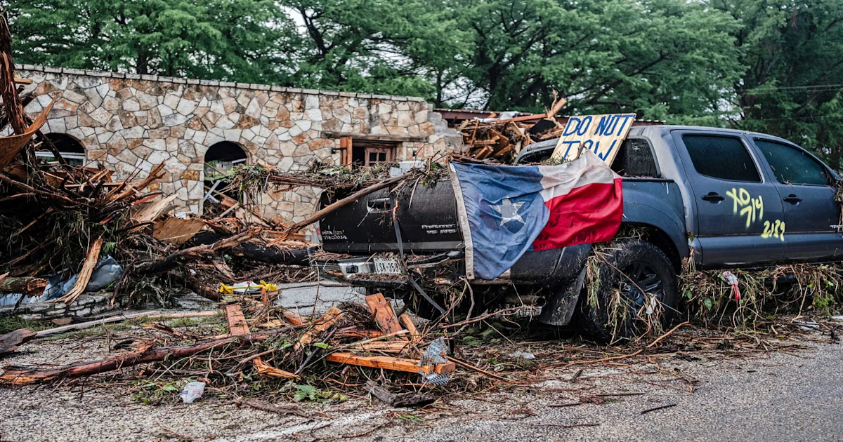
At least 81 people were dead and many others were missing Sunday evening after floodwaters surged through Texas Hill Country, an area known as “flash flood alley.”
Within hours of the deluge early Friday, some Texas officials were critical of the NWS, saying forecasts underestimated the rainfall. Sunday, President Donald Trump rejected the idea of investigating whether NWS cuts had left key vacancies, and the White House said claims that NWS cuts had anything to do with the tragedy were “disgusting.”
Independent meteorologists and a former NWS official said warnings issued in the run-up to the flooding were about as timely and accurate as could be expected with the weather data available in real time. Predicting extreme rain and flash flooding beyond several hours is challenging, they said, and it is also not easy to ensure urgent warnings reach those most at risk.
“The forecasting was good. The warnings were good. It’s always about getting people to receive the message,” said Chris Vagasky, a meteorologist based in Wisconsin. “It appears that is one of the biggest contributors — that last mile.”
The meteorologists said they did not think understaffed offices were a primary factor in the tragic outcome, even though the NWS has leadership gaps after a rash of staffing cuts.
Tom Fahy, the legislative director for the National Weather Service Employees Organization, a union that represents government employees, said the San Antonio weather forecasting office did not have two of its top positions filled — a permanent science officer (a role that conducts training and is in charge of implementing new technology) or a warning coordination meteorologist (who coordinates with the media and is the public face of the office), though there are employees acting in those leadership roles. Overall, Fahy said, the offices had enough meteorologists to respond to the event.
“The WFOs [weather forecasting offices] had adequate staffing and resources as they issued timely forecasts and warnings leading up to the storm,” Fahy said Saturday, but he added that he was concerned about the unfilled senior positions and vacuums of leadership.
In a statement, the NWS said it was “heartbroken by the tragic loss of life in Kerr County.” It did not address questions about staffing but provided a detailed timeline of the warnings it sent out.
Some Texas officials have suggested the National Weather Center forecast did not convey the storm’s threat, while others said they were grateful for timely alerts from the agency.
“The original forecast that we received on Wednesday from the National Weather Service predicted 3 to 6 inches of rain in the Concho Valley and 4 to 8 inches of rain in the Hill Country,” Texas Emergency Management Chief W. Nim Kidd said at a news conference Friday. “The amount of rain that fell in this specific location was never in any of those forecasts nonetheless.”
The National Weather Center indicated Kerrville, Texas, and its surrounding areas could be at risk of flash flooding Thursday, according to the National Weather Service timeline. Then, NWS Austin/San Antonio issued a flood watch at 1:18 p.m. Thursday into Friday morning. It issued its urgent flash flood warnings for Kerr County at 1:14 a.m.
Andy Brown, the Travis County judge, or chief executive, thanked the NWS for its alerts. Eric Carter, the county’s chief emergency management coordinator, described the weather service as being “very proactive in their warnings.”
The agency noted that it sent out a flash flood warning with tags of “considerable” or “catastrophic” at 1:14 a.m. CT Friday, which would trigger wireless emergency alerts on enabled mobile devices.
“Flash Flood Warnings were issued on the night of July 3 and in the early morning of July 4, giving preliminary lead times of more than three hours,” the statement said.
The Trump administration this spring laid off NWS employees and also offered buyouts and early retirements. By early June, the weather service had lost about 600 employees. Many veteran workers left, along with employees on probation and those recently hired or promoted.
Some NWS offices have experienced staffing reductions of more than 40%, and the agency has scrambled to fill critical roles at some forecasting offices. At least eight offices stopped operating 24 hours a day this spring as a result, and some have suspended weather balloon launches.
In May, more than 40% of the country’s weather forecasting offices had staffing vacancy rates above 20%. The cuts prompted all of the living former directors of the NWS to write a letter expressing concern over staffing levels and future budget cuts.
“Our worst nightmare is that weather forecast offices will be so understaffed that there will be needless loss of life. We know that’s a nightmare shared by those on the forecasting front lines—and by the people who depend on their efforts,” they wrote.
Compared with many forecasting offices across the country, the Texas offices remain relatively well-staffed.
Fahy said the San Antonio/Austin weather forecasting office is operating with 11 staff meteorologists and is down six employees from its typical full staffing level of 26. He also said the nearby San Angelo office, which issued warnings for parts of central Texas, is short four staff members from its usual staffing level of 23. The meteorologist-in-charge position — the office’s top leadership position — is not permanently filled. The office is also without a senior hydrologist.
“In San Angelo, there is no hydrologist, and that’s a problem,” Fahy said. Hydrologists analyze stream flow and play a key role in flood response.
Kerrville City Manager Dalton Rice said the city will look at whether its own emergency notifications were robust enough to warn residents.
“We know questions are being asked about the emergency notification, and while it is not the time to speculate, local and regional partners are committed to a full review of the events and systems in place,” Rice said at a news conference Sunday. “At the appropriate time, we will take clear steps to strengthen our future preparedness. We owe that commitment to the families who are suffering and every member of our community.”
Prominent independent meteorologists who have been critical of NWS staffing and budget cuts in the past have said federal meteorologists on the ground issued timely warnings.
Alan Gerard, the former director of the analysis and understanding branch at the National Severe Storms Laboratory of the National Oceanic and Atmospheric Administration, wrote in a blog post that the Austin/San Antonio forecasting office did a good job communicating the risks as quickly as possible, despite the unfilled leadership positions.
“Obviously, having both of these positions vacant for a prolonged time is not optimal, and certainly could have had negative impacts at some level,” Gerard wrote. “However, just looking at the actual warning services that NWS provided during the event, they were solid and provided the level of warning and alerts that the public should expect to receive for an event such as this.”
Matt Lanza, a Houston-based meteorologist, said there were no initial indications that staffing levels or budget cuts played a role in the tragedy.
Vagasky, the Wisconsin meteorologist, said predicting flash flooding and extreme rain is notoriously difficult.
“Quantitative precipitation forecasting, called QPF, is one of the hardest things meteorologists have to do. You have to get the right location, the right amount, the right timing,” he said. “They were aware this was a significant event, and they were messaging that.”
Vagasky said the remnants of Tropical Storm Barry moved into Texas and fed tropical moisture to severe thunderstorms, which stalled out over central Texas and pummeled the region with extreme precipitation.
He added that the cadence by which forecasters indicated increasing concern fit with what weather models were showing and what he would expect.
The Texas Hill Country is often called “flash flood alley” because its topography can funnel and quickly swell rivers. Knowing precisely where the rain will fall is key for hydrologic models to understand where flood impacts would be worse.
“The forecasts this week were for 4 to 7, 5 to 9 inches of rain, somewhere in there. And some models were showing higher amounts on top of that. Knowing is that higher amount going to fall 3 miles this way or 3 miles that way has a big impact on what the ultimate results are,” Vagasky said. “Unfortunately, the science just isn’t at that point where you can say, ‘OK, I know at this specific latitude and longitude, we’re going to get this much rain.’”
The overnight timing of the heaviest rain and the floodwaters’ beginning to rise is a nightmare scenario for forecasters, Vagasky said.
“Severe weather response in the middle of the night is one of the biggest challenges. That’s when we see the most tornado fatalities and the most flooding fatalities. People are asleep. They can’t see the tornado or the water rising,” he said. “Did people have their emergency alerts turned on on their phones?”
Vagasky, who has criticized staffing reductions and cuts to weather balloon releases at the NWS, said he did not think better staffing would have prevented the tragedy.
“Those are important positions that do need to be filled,” he said, but he added that it “probably wasn’t a significant contributor to what happened.”
Vagasky said there is plenty of room to improve quantitative precipitation forecasting that could help forecasters identify threats earlier. Such research is at risk if the administration cuts NOAA’s funding as it has outlined, he said.
“The big concern is the latest budget request. If it goes through Congress the way the administration wants, it shuts down all the NOAA research labs, which are the labs doing the work to improve that forecasting.”
This article was originally published on NBCNews.com