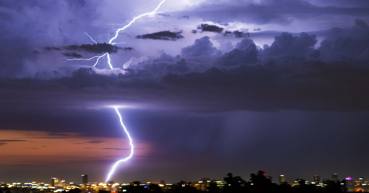
The National Weather Service updated its forecast Wednesday afternoon to increase the chances of a significant thunderstorm and widespread thunderstorms around Puget Sound this evening.
Decisions to postpone and cancel school sporting events began early Wednesday afternoon for some local districts. South Kitsap School District canceled all after-school sports and activities, while Klahowya Secondary School postponed baseball and softball games scheduled to be played at Vashon Island, opting against ferry travel. Central Kitsap’s home softball game was postponed against North Thurston due to travel concerns for the visitors.
North Mason School District announced shortly before 4 p.m. that all after-school activities (including night school) were cancelled. North Kitsap School District postponed a facilities advisory community meeting, scheduled for 6 p.m. at Kingston High School.
More: Will there be a tornado in western Washington? NWS warns of severe storm threats
Washington State Ferries issued a bulletin advising that ferry routes may be impacted this evening, including all Kitsap routes. WSF will send riders alerts if vessels are delayed or canceled. Sign up at wsdot.wa.gov/ferries/routealerts/.
The latest forecast from NWS is calling for a 40 to 70% chance of thunderstorms in Western Washington, included an increased risk of tornadoes in Lewis, Thurston and Pierce counties. The primary threat this evening is hail, along with strong winds, according to NWS. All of Kitsap County is included in the risk area published by NWS, as well as most of King County, Pierce County and areas south.
The risk of hail larger than 2 inches in diameter also increased in Wednesday’s update, expanding north to include parts of Seattle, NWS said.
Kitsap is one of several counties included in a weather risk for “severe thunderstorms,” which potentially bring wind gusts of greater than 58 mph.
(This story was updated to add new information and a video.)