(Above: Geologist Patrick Abbott, professor emeritus at San Diego State University, appears on FOX 5 to speak about the earthquake on April 14, 2025)
SAN DIEGO (FOX 5/KUSI) — California is no stranger to earthquakes, but the risk of earthquakes hitting San Diego County specifically lies on the fact that it rests on multiple active faults.
There are 15,000 known faults in the Golden State, according to the California Geologic Survey.
San Diego County rests on four active faults — one of which is the San Andreas, one of the world’s largest and most active fault zones.
The San Andreas runs more than 800 miles long and divides the state into two tectonic plates, the Pacific Plate and the North American Plate.
San Diego, Los Angeles and Big Sur are located on the Pacific Plate while San Francisco, Sacramento and the Sierra Nevada are on the North American Plate.
Parts of San Diego County also lie in the Elsinore Fault Zone, which runs about 110 miles. According to the Southern California Earthquake Data Center, this fault zone is one of the largest in Southern California but historically has been one of the “quietest.”
The community of Julian rests on this fault, which is where two back-to-back earthquakes and several aftershocks occurred on April 13 and 14.

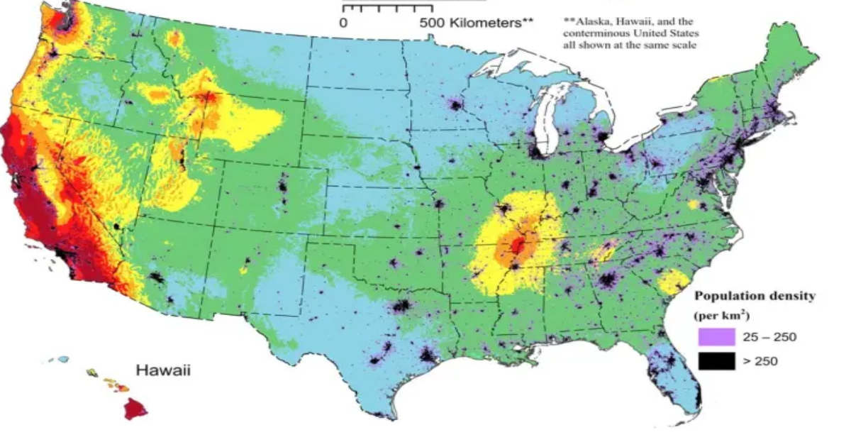
Map shows which parts of the United States are at the highest risk of seismic activity. (USGS)
According to the California Geological Survey, the Rose Canyon Fault Zone is part of the greater San Andreas Fault System.
In San Diego County, it is partially responsible for the uplifted landscape of La Jolla and other coastal areas. It encompasses Mount Soledad and Point Loma in addition to the sea cliffs seen around La Jolla Bay and Torrey Pines.
The San Jacinto Fault Zone is 130 miles long and includes Anza-Borrego Springs and the unincorporated community of Ocotillo Wells in east San Diego County.
Other communities in this zone include San Bernardino, Loma Linda and Lytle Creek.
The California Earthquake Authority — the publicly-managed insurance company created by state lawmakers after the 1996 Northridge earthquake — estimates there is a 99% chance of a magnitude 6.7 or greater earthquake striking the Golden State before 2044, based on 30-year models created by the U.S. Geological Survey in 2014.
Landslides near Mount Soledad, Point Loma, Mission Valley and Sorrento Valley are expected to occur as a result of a major quake in these zones, the authority says.
Copyright 2025 Nexstar Media Inc. All rights reserved. This material may not be published, broadcast, rewritten, or redistributed.